Optimizing Right-of-Way Planning for Cities, Counties & States
AtomAI’s Coordinate Application: Smarter Capital Improvement & Utility Project Coordination
Managing capital improvement projects and utility work in the public right-of-way is a complex challenge for city and state agencies. Without a centralized coordination system, overlapping projects can lead to unnecessary street cuts, increased costs, safety hazards, and inefficient use of resources.
Coordinate transforms the way agencies and utility providers plan, track, and collaborate on infrastructure projects, ensuring a more efficient and cost-effective approach to right-of-way management.
The Challenges of Right-of-Way Project Coordination
Cities and state agencies often struggle with:
Uncoordinated street cuts
Multiple projects digging into the same roadway at different times, leading to unnecessary repaving costs and disruptions.
Lack of cross-agency visibility
City departments, state DOTs, and private utilities often operate in silos, making collaboration difficult.
Safety risks and traffic disruptions
Poorly coordinated projects create safety hazards for workers and the public, increasing traffic congestion and emergency response times.
Inefficient project planning
Without a shared planning tool, agencies miss opportunities to align schedules, bundle work, and reduce overall project costs.
How AtomAI’s Coordinate Application
Solves These Challenges

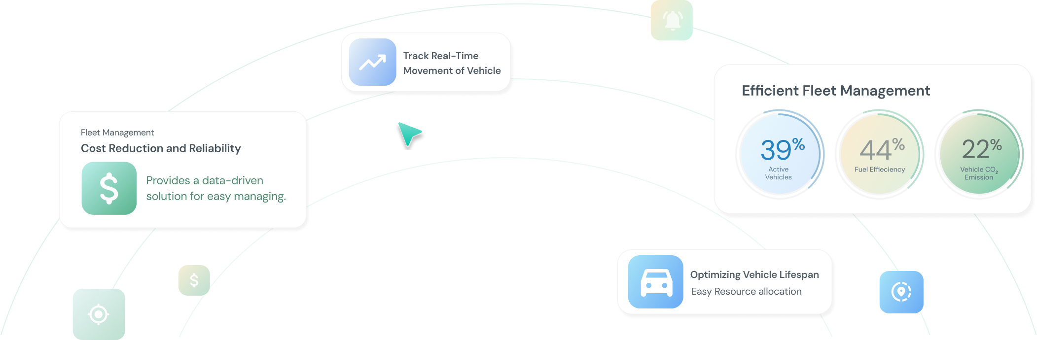
Centralized Project Coordination
Leverage a single platform for city, state, and utility stakeholders to share project timelines and planned work locations. Take advantage of real-time visibility into all capital improvement and utility projects in the right-of-way.
Seamless Integration with Existing Systems
Integrate directly with permitting tools to ensure that all approved work is included in the coordination process. Sync with GIS systems to provide a spatially accurate view of all projects, ensuring agencies and utilities can align work efficiently. Consolidate relevant infrastructure data so all stakeholders have centralized access to the latest project details, utility work plans, and road closure schedules.
Shared Street Cut Costs and More Efficient Repairs
Facilitate a single platform for city, state, and utility stakeholders to share project timelines and planned work locations. Benefit from real-time visibility into all capital improvement and utility projects in the right-of-way.
Coordinate empowers cities and states to plan smarter, save money, and improve public safety. Integrating directly with permitting tools and GIS systems, Coordinate ensures that all relevant data is centralized and accessible, enabling better decision-making and seamless project coordination between public agencies and utility providers.