Atom: The Most Compatible Geospatial Platform on the Market
At AtomAI Solutions, we’ve built the industry’s most compatible geospatial platform, seamlessly integrating with industry-standard tools like ESRI/ArcGIS. AtomAI breaks down data silos, unifying geospatial tools into one powerful system for managing assets, workflows, and field operations.
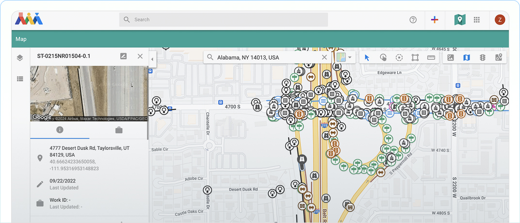
Centralize Your Geospatial Data in One Platform
Atom is built for seamless interoperability, enabling real-time integration with industry-standard geospatial platforms. Whether you’re using ESRI/ArcGIS, government GIS datasets, or other mapping tools, Atom unifies your organization’s geospatial data, layers, and more within the Atom Mapping Portal.
Atom + ESRI
Atom is designed to seamlessly complement your ESRI database—empowering GIS teams to maintain the geospatial “source of truth,” while enabling other departments to access and apply this data directly within Atom.
Atom + ESRI
Atom is designed to seamlessly complement your ESRI database—empowering GIS teams to maintain the geospatial “source of truth,” while enabling other departments to access and apply this data directly within Atom.
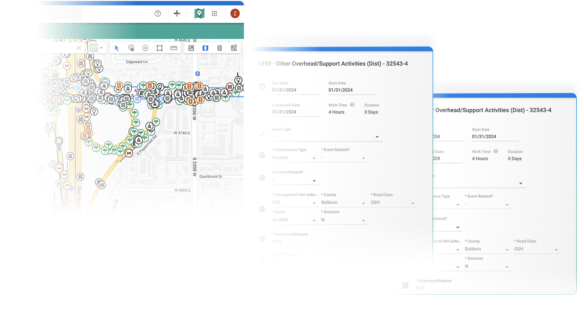
Create Work Directly From Your Map
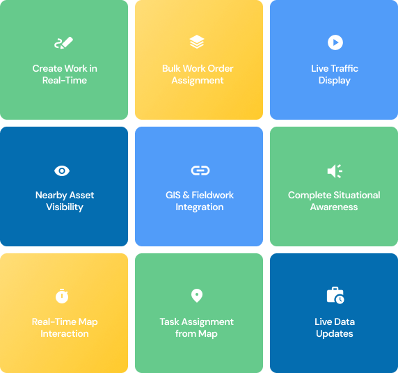
With AtomAI, your mapping environment becomes an interactive workspace. Users can create and assign work orders in real-time directly from the map, including bulk assignments using custom templates. Teams can also collect and add new assets in the field, ensuring your inventory stays current. Live traffic, nearby assets, and active work orders are displayed for full situational awareness, bridging the gap between GIS and field operations with accurate, up-to-date data.
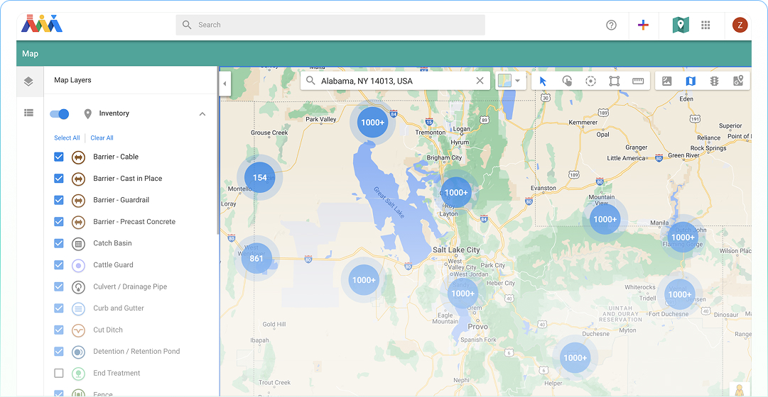
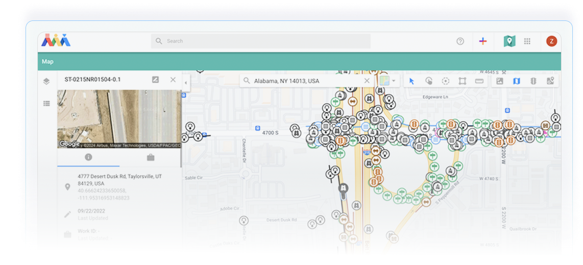
Visualize and Track Your Assets
AtomAI delivers Advanced asset tracking within its geospatial environment. Users can view detailed, customized asset records and track historical changes—such as relocations and condition ratings—for improved lifecycle visibility. Built-in QA/QC workflows ensure that edits are reviewed and updates flow seamlessly into the database. AtomAI also integrates with telematics systems, allowing real-time visibility into users and vehicles in the field. From infrastructure management to field inspections, AtomAI keeps asset data accurate, transparent, and actionable.
Asset Tracking
Keep track of asset locations, relocations, and condition ratings over time for complete visibility.
Seamless Sync
Instantly update asset details with QA/QC workflows that sync changes to your geospatial database.
Field Management
From inspections to infrastructure maintenanc, ensure accurate, transparent, and actionable asset data.
Navigate to Your Work
With Turn-by-Turn Directions
AtomAI is built with interoperability at its core, ensuring direct and real-time integration with industry-standard geospatial platforms. Whether you rely on ESRI/ArcGIS, government GIS datasets, or other mapping solutions, AtomAI enhances your existing systems without disruption.
Seamless Transition
Offers a seamless transition from desktops or traditional pen-and-paper workflows
Smarter, Faster, Efficient
Smart navigation that empowers teams to work faster, and more efficiently.
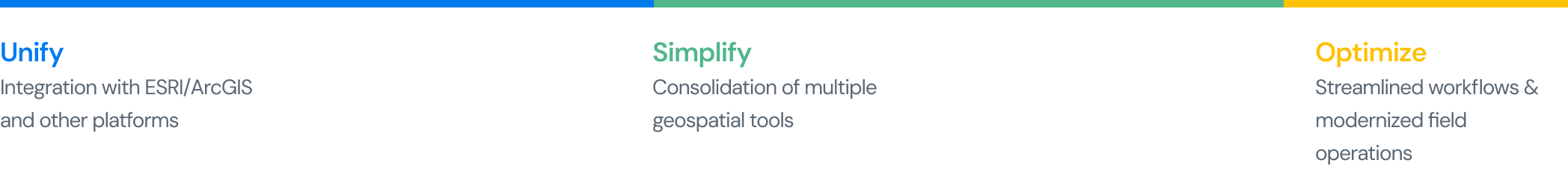
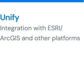
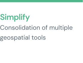
Unify. Simplify. Optimize.
Atom seamlessly integrates with ESRI and other GIS platforms to unify your geospatial data into a single, interactive environment. Simplify field operations and asset management by connecting real-time maps with work orders, inspections, and inventory. Optimize decision-making with live data layers, telematics integration, and intuitive mapping tools, all in one powerful platform.
Ready to experience the power of AtomAI?
Contact us today to see how our platform can transform your geospatial workflows.